We will go through all the stages of construction
We will go through all the stages of construction

We successfully cope with tasks of varying complexity, provide long-term guarantees and regularly master new technologies.

Pegu Khola Small Hydropower Project is located at Bigu Gaupalika of Dolakha District which falls under Bagmati Province of Nepal. The project site is at 5 km road network from Sorung Bazaar. All of the major components such as intake, desanding basin, headpond and water conduit system lies at the right bank of Pegu Khola. Geographically the project area is located at Latitude 27 o 50’ 18’’ N to 27 o 49’ 22’’ N and Longitude 86 o 04’ 59’’ E to 86 o 03’ 21.5’’ E. The power generated from Pegu khola Small Hydropower Project is proposed to be evacuated at NEA substation located at Singati in Dolakha district through transmission line of approximately 13 Km.

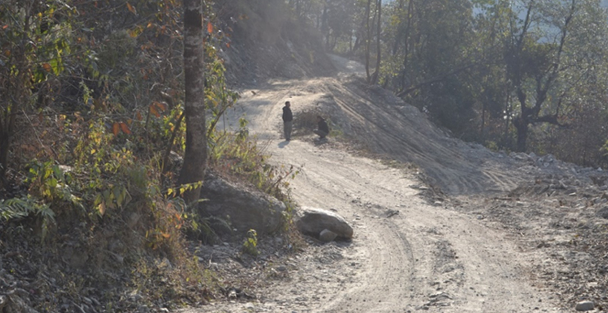
Pegu Khola Small Hydropower Project (PKSHPP) is located at Bigu Gaupalika of Dolakha district in Bagmati Province of Nepal. The proposed project site lies in North of Chairkot, a district headquarters of Dolakha district. Similarly, the project area is accessible from Singati Bazar, a local business hub of Dolakha district which is accessible by Vehicle regularly in all weather. There is no air route available to reach Dolakha District. Black topped road is available from Kathmandu to Charikot and to Singati. From Singati Bazaar, a gravel/earthen road of 25 km continues to Sorung Bazaar and 5 km to the Project Site. The project area lies in Bigu Gaupalika of Dolakha District and easily accessible by road networks.
© 2025. All right reserved. powered by : Apex Infotech